March like a Roman
There are four roman roads in the parish of Abbots Langley, parts of them are still roads, other parts are now footpaths and some parts have disappeared.
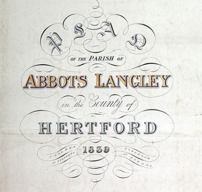
The 1839 Tithe Map
A map of how the Parish looked in 1839.
Each field and property is numbered and you can look up who owned and rented the land and properties.
This information has been used to produce maps showing the land owned by some of the major landowners of the parish:-
• Land Owned by Trinity College, Oxford and Sidney Sussex College, Cambridge
• Land Owned by Edmund Fearnley Whittingstall
• Land Owned by Samuel Reynold Solly
• Land Owned by Sarah Smith
• Land Owned by the Revd William Lewis
• Roman Roads overlaid on the Tithe Map
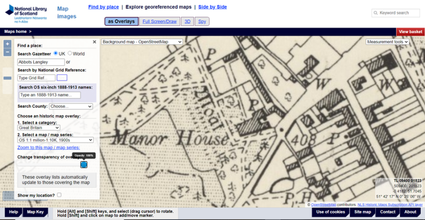
How to plot the position of your house on old maps
The document describes two methods to overlay a modern map over an historic one.